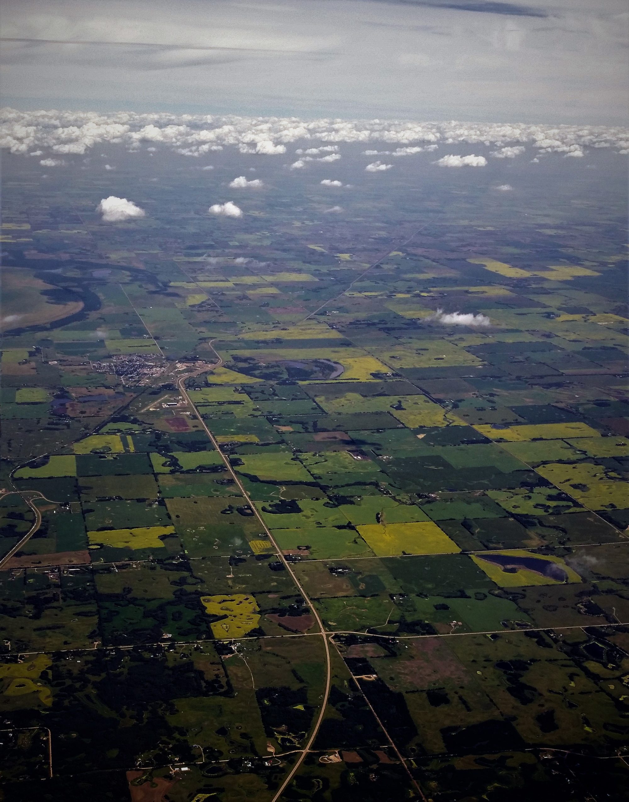
Panvion’s sensors are designed to acquire imagery of the largest land and sea surface area at the highest resolution possible. Its wide-area nadir and oblique coverage can reach up to 140 degrees in swath, or more.
This translates into large productivity and savings in:
- Fuel and payload advantage
- Flight time reducing pilot and aircraft operating cost
- Faster mission completion
- Superior resolution and multi-spectral capabilities
The sensors’ flexible architecture in both spatial and spectral resolutions allows the creation of highly detailed
3-D city-scape models as well as wide swath coverage imagery from the ultraviolet, visible, NIR, SWIR to Thermal infrared unlike any other system.


